Research for the prevention of wildlife accidents
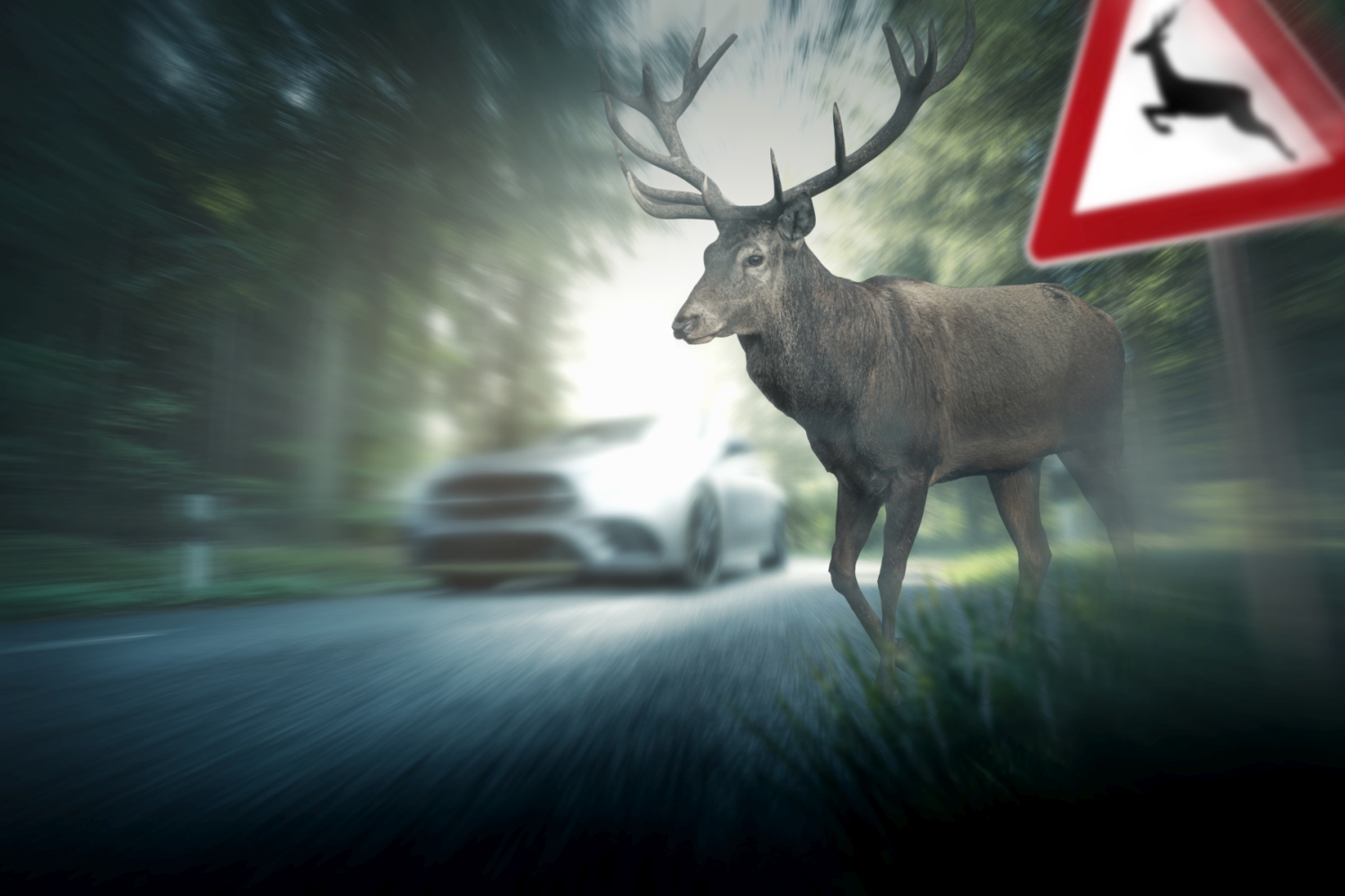
In Austria, around 300 accidents involving wild animals with personal injury occur every year, in which around 330 people are injured and 1-2 people are killed. In addition, according to Statistics Austria, around 77,000 wild animals are killed by road traffic each year, known as roadkill. In order to reduce these alarming figures, an interdisciplinary team of researchers led by the AIT Austrian Institute of Technology has launched the pioneering WildWarn project, which pursues innovative approaches to the analysis and prevention of wildlife accidents.
As part of this project, road sections in a model region are being investigated in order to better understand the causes and correlations of wildlife accidents. Using various data sources, including satellite image data, traffic volumes, speed levels, accident frequencies, road alignment parameters and habitat data, dangerous sections are modeled spatially and temporally. The combination of this data enables a comprehensive analysis that helps to identify potential risk factors.
One focus of the project is on data fusion, where earth observation data generates added value to develop a precise and data-driven understanding of wildlife accidents. The results will be made available to various stakeholders, including infrastructure operators and vehicle drivers. Integration into various applications, from navigation apps to comprehensive map-based visualization of danger zones, is planned.
The overall aim of the project is to create a prototype risk map based on satellite image data. This web-based map is provided as a service to better analyze wildlife accidents statistically and to show the spatial and temporal relationships between potential influencing factors and wildlife accident incidents. In addition, data on game density, especially red deer, roe deer and wild boar, as well as information on forest structure are included in the analyses.
Michael Aleksa, AIT traffic safety expert and project manager of WildWarn, explains: "Our innovative approach of merging earth observation data with traffic and environmental information enables us not only to analyze wildlife accidents, but also to plan preventive measures in a targeted manner. By creating a web-based risk map, we aim to increase road safety and at the same time harmonize the interaction between humans and nature."
Project presentation for the nomination for the KFV Forschungspreis 2024 (in German)
(c) KFV (Kuratorium für Verkehrssicherheit)
Funded by the Federal Ministry for Climate Action, Environment, Energy, Mobility, Innovation and Technology (BMK) and the Austrian Research Promotion Agency (FFG) as part of the ASAP call 2022.


