Infografic Gamma Waves
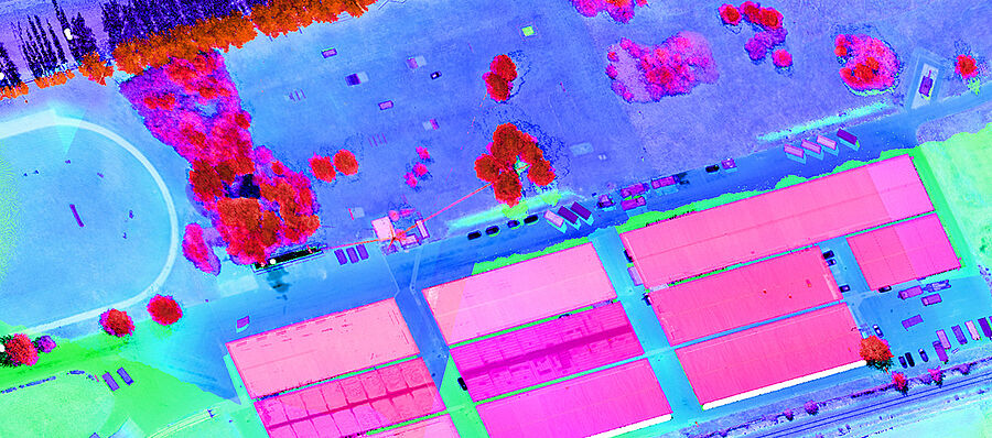
The focus of the SECURESCUE project is the real-time 3D 360° mapping of an area for disaster response using mobile exploration robots. The goal is to achieve fast situation and risk awareness to support the safe and efficient deployment of first responders. The novel airborne laser scanner is mounted on an unmanned aerial vehicle (UAV) and the 3D 360° panorama camera, mounted on a robot, is used to improve situation awareness for outdoor as well as indoor disaster scenarios.
The data is combined with existing information from on-board sensors (e.g. gas and radiation detectors) for the exploration of disaster areas and detection of possible risks (e.g. high contamination levels, dangerous gas) for safe search and rescue activities. The project developed the real-time representation of the 3D information (e.g. visual, radiation, chemical, position) and continuous visualization in the form of a 3D information map on mobile terminals (e.g. handheld devices) for responders. The whole system has been evaluated using real scenarios from the Defence Ministry (BMLVS) in Upper Austria.
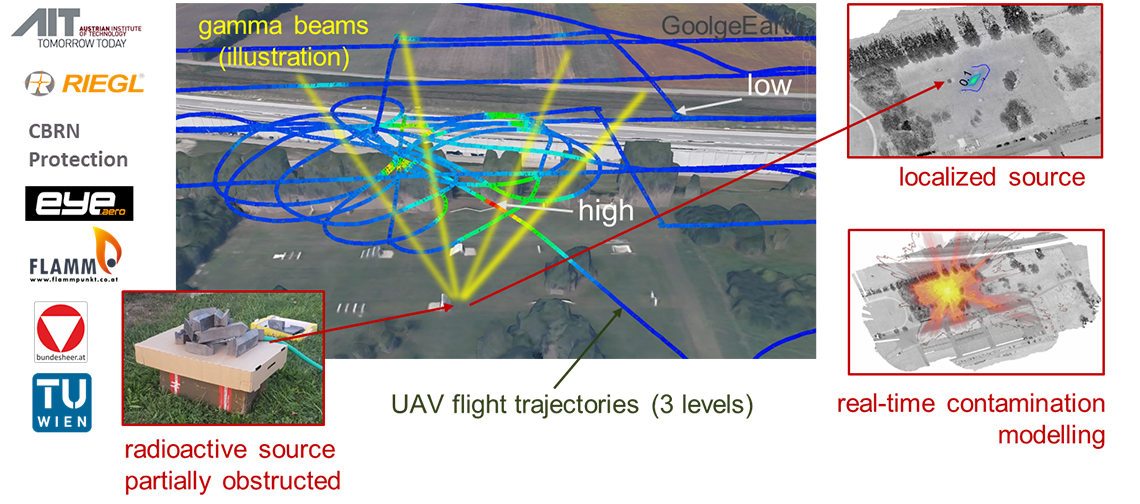
Outdoor – UAV-based (unmanned aerial vehicle) real-world test
Generate a consistent view of 3D LiDAR and CBRNE sensors by
- fusing all available measurements (LiDAR, radioactivity) into a
- comprehensive information set to reveal the location and parameters of radioactive sources, and
- real-time modelling of radioactive contamination
Indoor – Robot-based real-world test
Generate a consistent view of 3D 360° panoramic and CBRNE sensors by
- fusing all available measurements (video, gas) into a
- comprehensive information set to reveal the location and parameters of gas concentration in an existing


