The digitization of road infrastructure is a prerequisite for a wide range of tasks. This involves transferring the road infrastructure into a 3D model, which on the one hand must have a high level of geometric accuracy, but equally detailed semantic information about the objects contained in the model and their properties. A use case for this "digital twin" of the road is described below.
In the future, autonomous, electrically powered shuttle buses will help to efficiently serve the so-called "last mile" in the public transport network. Prior to their introduction, safe operation must be verified in a simulation environment and route guidance must be optimized. As part of the Digibus® Austria project funded by BMK and FFG, researchers from AIT Austrian Institute of Technology GmbH in cooperation with Prisma Solutions, Virtual Vehicle GmbH and Salzburg Research have developed a digital simulation environment for an autonomous shuttle bus.
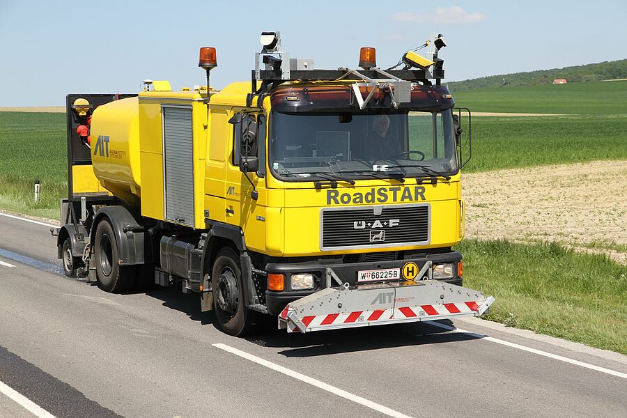
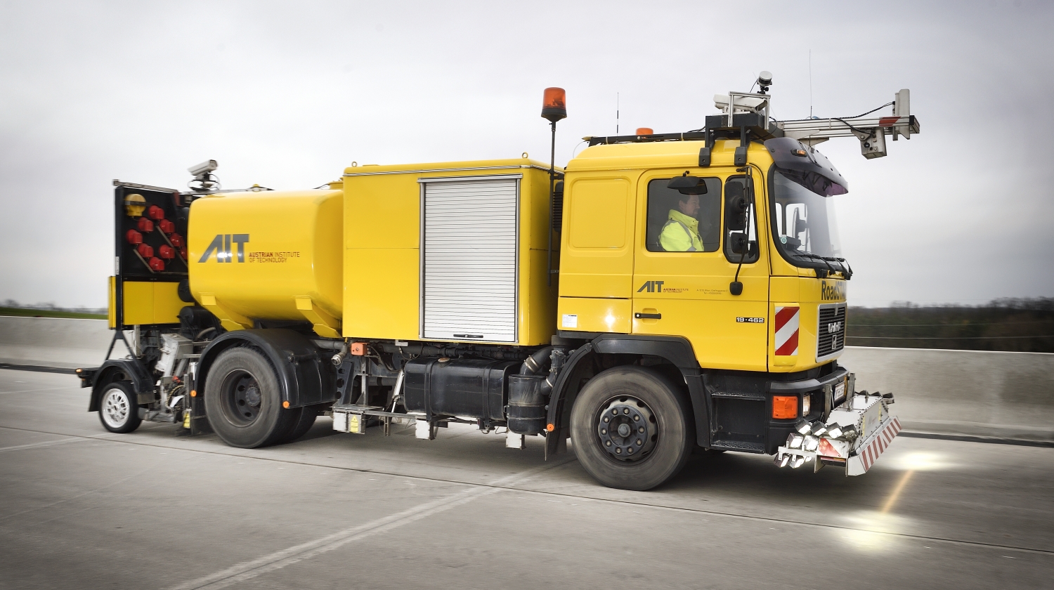
The RoadSTAR rolling laboratory was used to record and digitize the road infrastructure of the approximately two-kilometer-long bus test route in the municipal area of Koppl (Salzburg). Laser scanners and digital camera systems were used. The recording was carried out in a time-saving manner in flowing traffic, without disturbing other road users. Compared to conventional surveying, driving with laser scanners offers considerable time advantages, but also a much more complete recording of the road corridor. From the generated 3D point cloud, a highly accurate model of the road space with roadway, sidewalk, sidewalk markings, traffic signs, street lights, etc. was extracted. After further conversion steps, this model of the road infrastructure was used as the basis for the simulation of the bus driving maneuvers.
From point cloud to HD map
The simulation enabled various driving maneuvers of the shuttle bus to be optimized. The optimized bus route determined in the simulation was transferred to the real bus, which then navigated according to this optimized route in a real test.
In the final validation of the positional accuracy, it was shown that the Digital Twin meets the highest requirements placed on so-called high definition maps (HD maps) for autonomous vehicles. An absolute positional accuracy of less than ten centimeters was determined.
The project has already demonstrated the transfer of the simulation to the real test operation of the autonomous shuttle as well as the application of the HD Map. However, the application possibilities of the Digital Twin go far beyond this. Applications include roadway models used during vehicle development for chassis optimization, high-precision as-built documentation for road maintenance asset management, and general applications for Building Information Modeling (BIM) in the transportation infrastructure sector.


![[Translate to English:] RoadSTAR](/fileadmin/_processed_/e/d/csm__FVZ8357-1000x400_ca48e7a61c.jpg)
