Video identification und online analysis for traffic flows
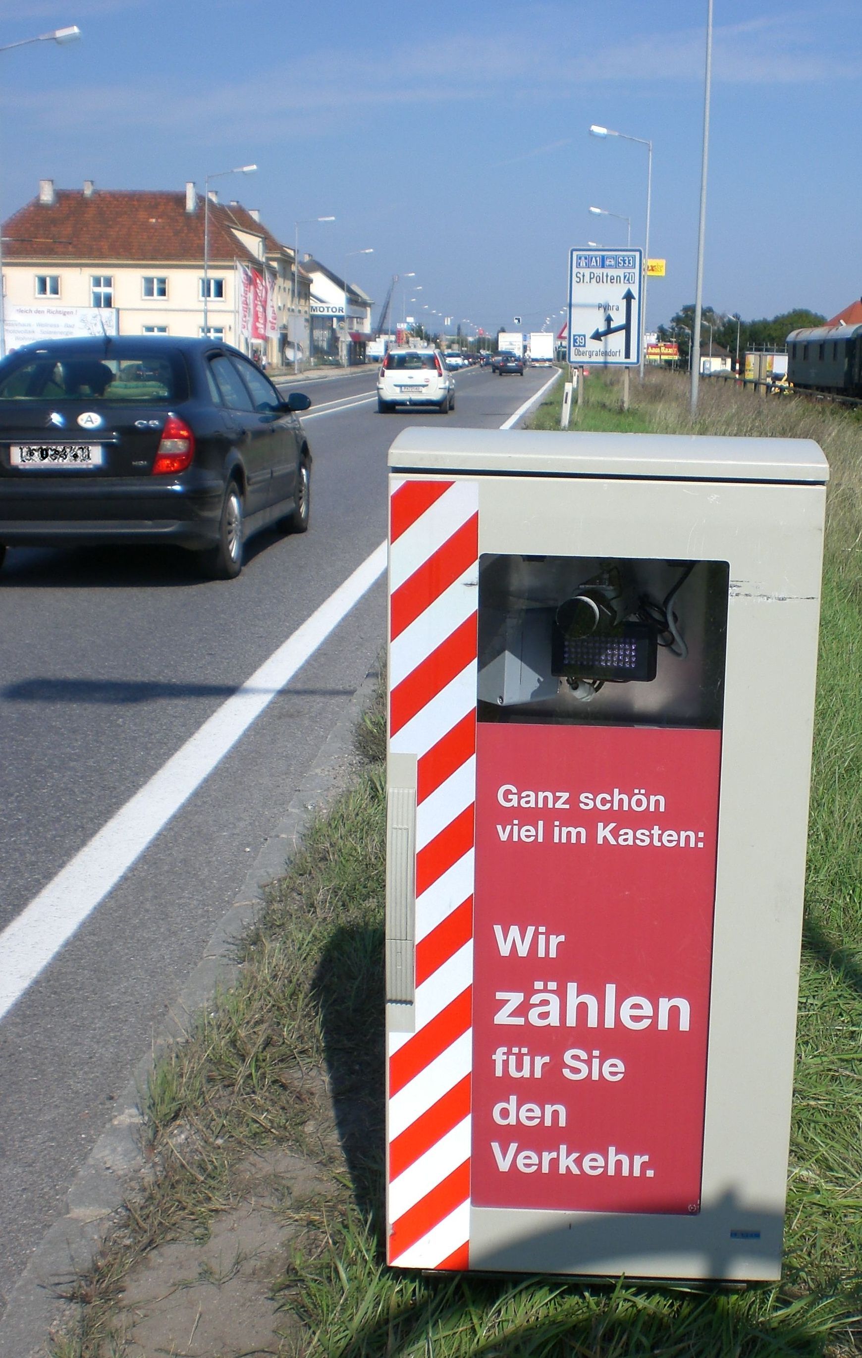
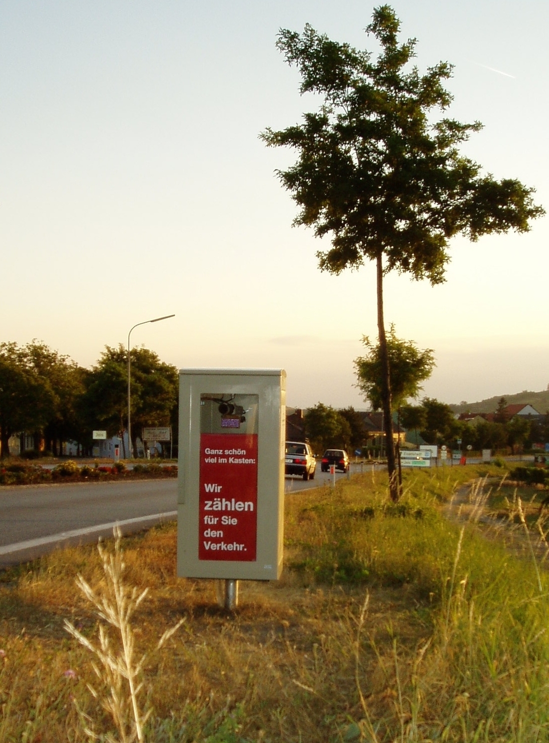
Traffic censuses and traffic stream analyses presently are a valuable basis for a wide range of traffic planning, management, safety and telematics applications. Againstthis background an appropriate system by AIT and EBE Solutions has been developed together, which makes traffic censuses and traffic stream analyses in real time possible. The assigned automatic number plate recognition software further offers the possibility to classify vehicles bycountries and political districts. In order to eliminate privacy concerns, a one-way encryption using cryptographic hash functions is applied to the license plate data immediately after the collection.
The system was conceived for defined areas in the lower ranked roads and consists throughout of economical standard components. It supplies continuously data via WLAN or UMTS from the (permanent) counting points to a central server, which verifies for plausibility and evaluates the data in a versatile and flexible manner. In consequence continuous traffic stream analyses for regions, cities, municipalities or for defined public infrastructures such as airports, shopping centers, park and ride facilities can be realized. Another possibility is the derivation of the current traffic situation on the roads.
A substantial benefitof the entire application is its real time character. The immediate analysis of the traffic streams and travel times always providesa survey of the current traffic state and makes immediate traffic management procedures possible. A coupling of the system with contactless sensor technology makes additionally a collection of the type of vehicle, cross-sectional speeds as well as the length of each vehicle possible. Apart from real-time applications, which supply primarily information locally, long-term evaluations founded on the basis of arbitrary sized data samples from the past are possible. Depending upon requirement the raw data are processed to clear representations such as way paths, daily -, weekly -, monthly or yearly variation lines. Further applications represent the collection of source and goal traffic, short-cuts through settlement areas, the rate of utilization of parking lots and the period spent in a survey area.


