High-Density Pavement Scanning for Condition Monitoring of Roads
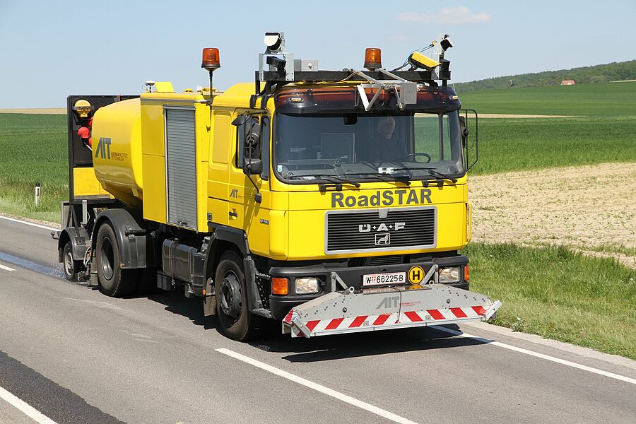
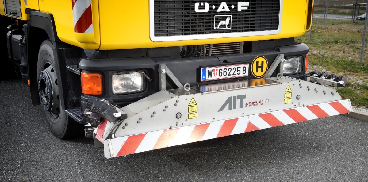
In this project a mobile laser scanning system was developed that measures and analyses highly dense 3D profiles of complete road networks with unprecedented resolution and speed. In parallel, it performs high resolution pavement surface analyses. The idea was to prevent major road damages by early recognition of smallest damages. The purely laser-based system integrated road profile measurements and surface distress analysis into one single compact and economic scanning device for the first time.
Conventional road scanning systems use two different measurement techniques for 3D road profiling and pavement surface analysis, respectively, the former is typically performed by laser scanning devices that generate spatially referenced 3D point grids of the road surface via time-of-flight (TOF) measurements. The latter is typically carried out using camera-based imaging techniques with external lighting followed by manual data interpretation in order to identify pavement damages. These systems are bulky, expensive, and the data analysis is complex and time consuming. To cover the whole lane width, it requires broad survey vehicles which is why comprehensive road mapping is limited to interstate highways.
To overcome these limitations, we developed a purely laser-based system with improved resolution and faster data analysis in this project. Due to its compact size comparable to a shoe box it allows for smaller measurement vehicles so that pavement mapping can be extended to secondary and urban road networks. In this novel setup the camera system is replaced by a second laser that scans the road anti-cyclic with respect to the first one using the same rotating deflection mirror.
AIT’s activities in the project included the system specification and the in-situ evaluation of the prototype with comparison of the collected laser-based data to conventional camera-based surface images.
Funded by the Federal Ministry for Climate Protection, Environment, Energy, Mobility, Innovation and Technology (BMK) and the Austrian Research Promotion Agency (FFG) as part of Eurostars-2.


