
The HoSMoS project (Flood Protection Monitoring via Satellites), led by the AIT Austrian Institute of Technology, was presented on the website of the European Copernicus program as a best practice example for the use of Earth observation services. This gives the project international visibility and underlines the relevance of satellite-based technologies for sustainable flood protection.
HoSMoS focuses on the question of how existing flood protection facilities, such as dams, can be monitored efficiently and over the long term. Climate change, with its increasing heavy rainfall events, requires innovative approaches to ensure safety in urban areas. With the help of multi-temporal InSAR (Interferometric Synthetic Aperture Radar) analyses, HoSMoS is investigating whether deformations of structures can be detected non-contact and retrospectively – for example, using Sentinel data dating back to 2015.
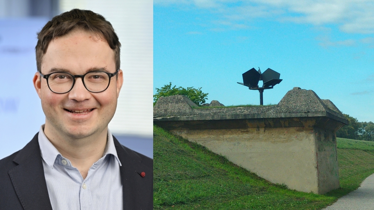
“Satellite monitoring offers great potential for flood protection,” emphasizes project manager Vazul Boros from AIT. The aim of the project is to explore the technical possibilities and limitations under real conditions – for example, how vegetation, material properties, or seasonal effects influence measurement accuracy.
While previous methods such as structural inspections, surveys, or drone missions are usually complex and cost-intensive, satellite-based monitoring could offer a comprehensive, automated, and resource-saving solution. Early warnings based on precise long-term analyses would help to identify potentially critical areas in good time.
HoSMoS represents an important step toward adapting flood protection systems to the challenges of climate change through the intelligent use of European Copernicus data and state-of-the-art satellite technology.
To the article on the EEA Copernicus program website: https://land.copernicus.eu/en/use-cases/tracking-ground-motion-along-the-danube/tracking-ground-motion-along-the-danube