Accurate, Assured and Affordable Positioning and Navigation for Everyone
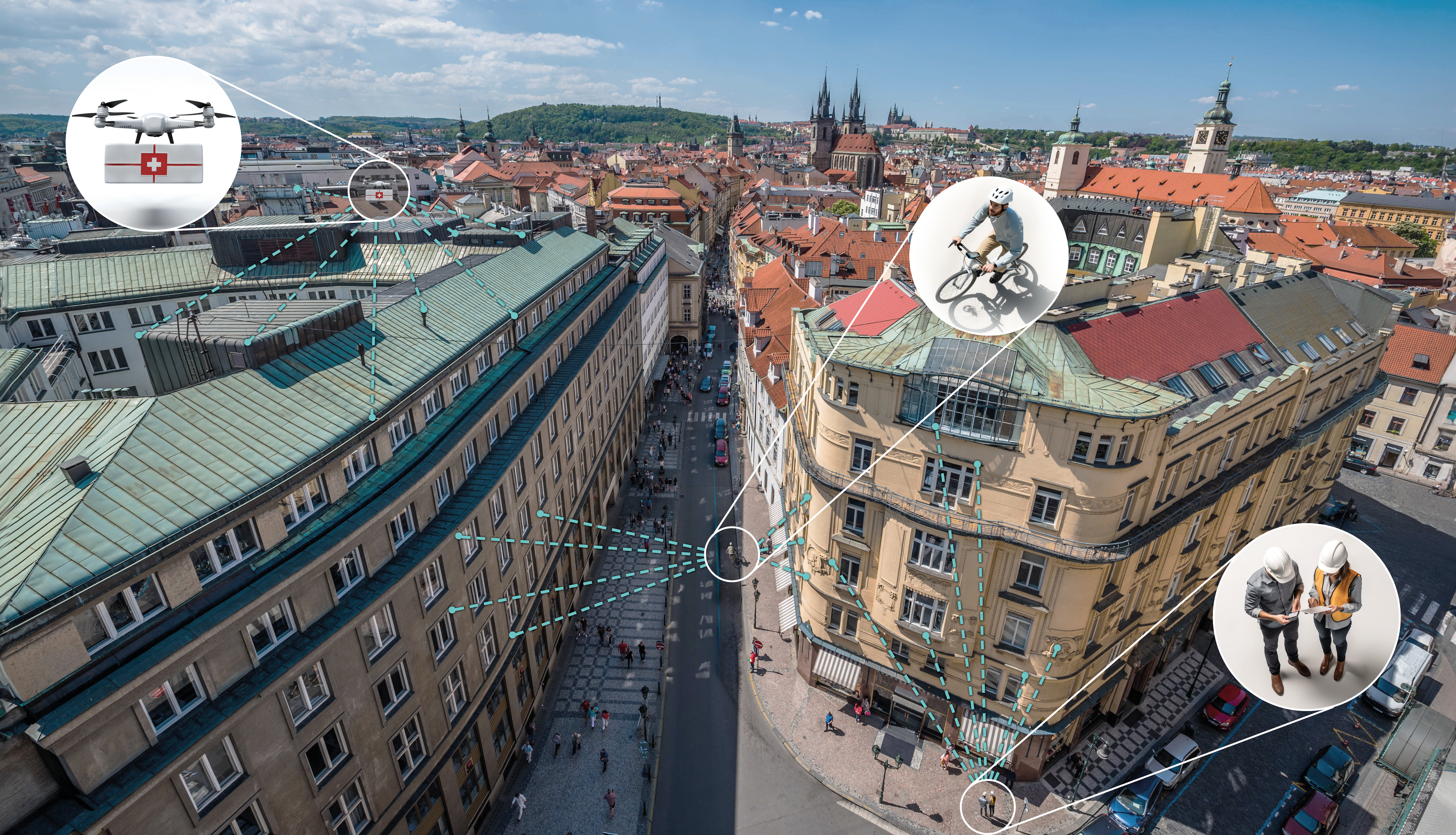
The EU project egeniouss makes accurate and reliable navigation available for everyone. Satellite-based navigation and positioning (GNSS – Global Navigation Satellite System) is the backbone for a multitude of services and even entire industries. But in cities, urban canyons interrupt and reflect satellite signals making navigation unrealiable und imprecise.
Additonally, satellite signals can be easily manipulated or blocked (e.g. jamming, spoofing). As critical infrastructure, satellite navigation and positioning are essential not only for future assistive and autonomous systems. Overreliance on a single localisation source (i.e. GNSS) poses significant security risks and prevents many professional and consumer applications from reaching their full potential. Affected application areas range from transport, logistics, and aviation to disaster management as well as urban and infrastructure planning. egeniouss will change that by bringing a visual localisation cloud service to the market.
The egeniouss solution will be platform-independent. egeniouss requires only a mobile device, such as a smartphone or smartwatch. Additionally, it can be easily integrated into mobile systems such as drones, vehicles, trucks, or rail vehicles.
CORE FEATURES
- Accuracy
With surveying-grade geodata in the background, egeniouss aims for an absolute accuracy of up to 10 cm offering unparalleled performance for all sorts of location-dependent applications. - Reliability
Satellite navigation is prone to intended and unintended signal manipulation making autonomous systems difficult if not impossible to operate. egeniouss offers a redundant positioning solution that ensures higher reliablity even in challenging receiver environments, such as urban areas. Additionally, signal manipulation can be detected and compensated for. - Platform independence
egeniouss is a platform-independent cloud-based solution. It can run on smartphones, drones and will later be made available for other platforms as well.
AIT @ egeniouss
Together with seven European partners from four countries, the AIT Center for Vision, Automation & Control (project coordinator) and the AIT Center for Technology Experience are working on the egeniouss project. The aim is to develop a technology to optimise satellite-based navigation systems.
As project's initiator, the Center for Vision, Automation & Control, is working on autonomous ground-based and airborne robotic systems. Thanks to its many years of experience in machine learning and machine vision, it makes an important contribution, particularly in the field of visual localisation and odometry techniques, which play a central role in autonomous applications.
In addition, the Centre for Technology Experience is supporting the market-oriented project by analysing and integrating user requirements from the initial development phase through to market launch.
Duration
December 2022 – May 2026
Partner
7 partner - 4 countries
- AIT - Austrian Institute of Technology (AT)
- Technical University of Braunschweig (GER)
- GeoNumerics (ES)
- Crayon (AT)
- CATUAV (ES)
- Centro Español de Logística (ES)
- OPENGIS.ch (CH)
- Beemo (GER)
Learn more here
egeniouss website
Follow us on
LinkedIn
Funding
European Union Agency for the Space Programme
egeniouss 101082128


