Explore & Understand Bicycle Traffic in the City
Cycling is a key mode of transport for our future mobility. CycleTripMap provides the necessary qualitative and quantitative information for traffic planning and routing. It is based on the behavior and experience of cyclists and developed by the AIT in cooperation with Radlobby Österreich.
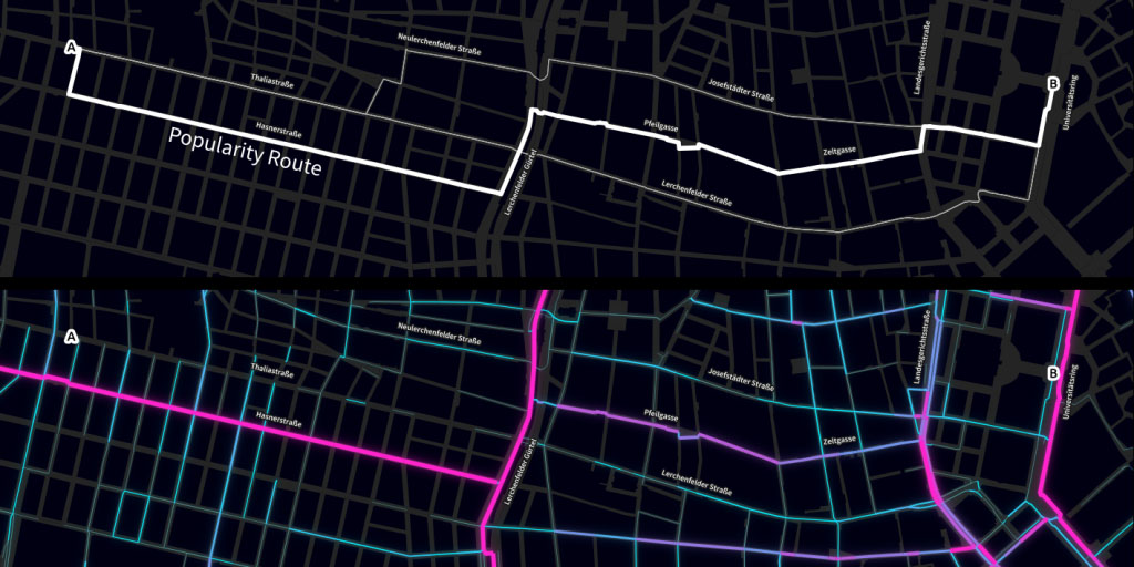
One key indicator provided by CycleTripMap is the popularity of a road compared to alternative routes in its vicinity. This information can be used for traffic planning as well as routing.
Popularity is calculated from a set of GPS trajectories and can be parameterized. The popularity visualized in the graphics was calculated using anonymized GPS tracks provided by the campaign “Radelt zur Arbeit” (collected by 1,300 cyclists on 27,000 tracks totaling 180,000 km from April 2013 until July 2015). Further the data from this campaign were parameterized to extract roads which are popular for long-distance routes.


