

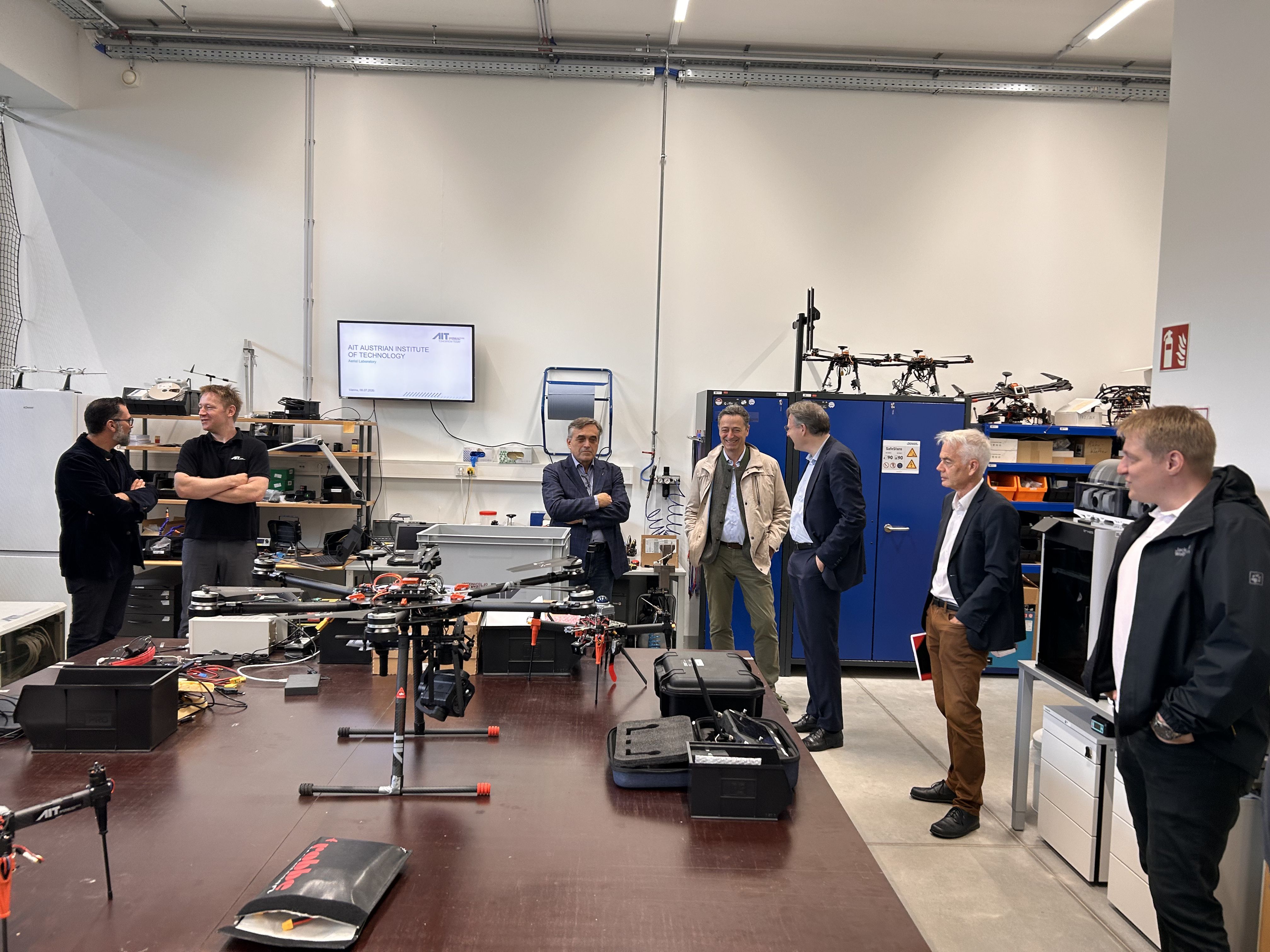
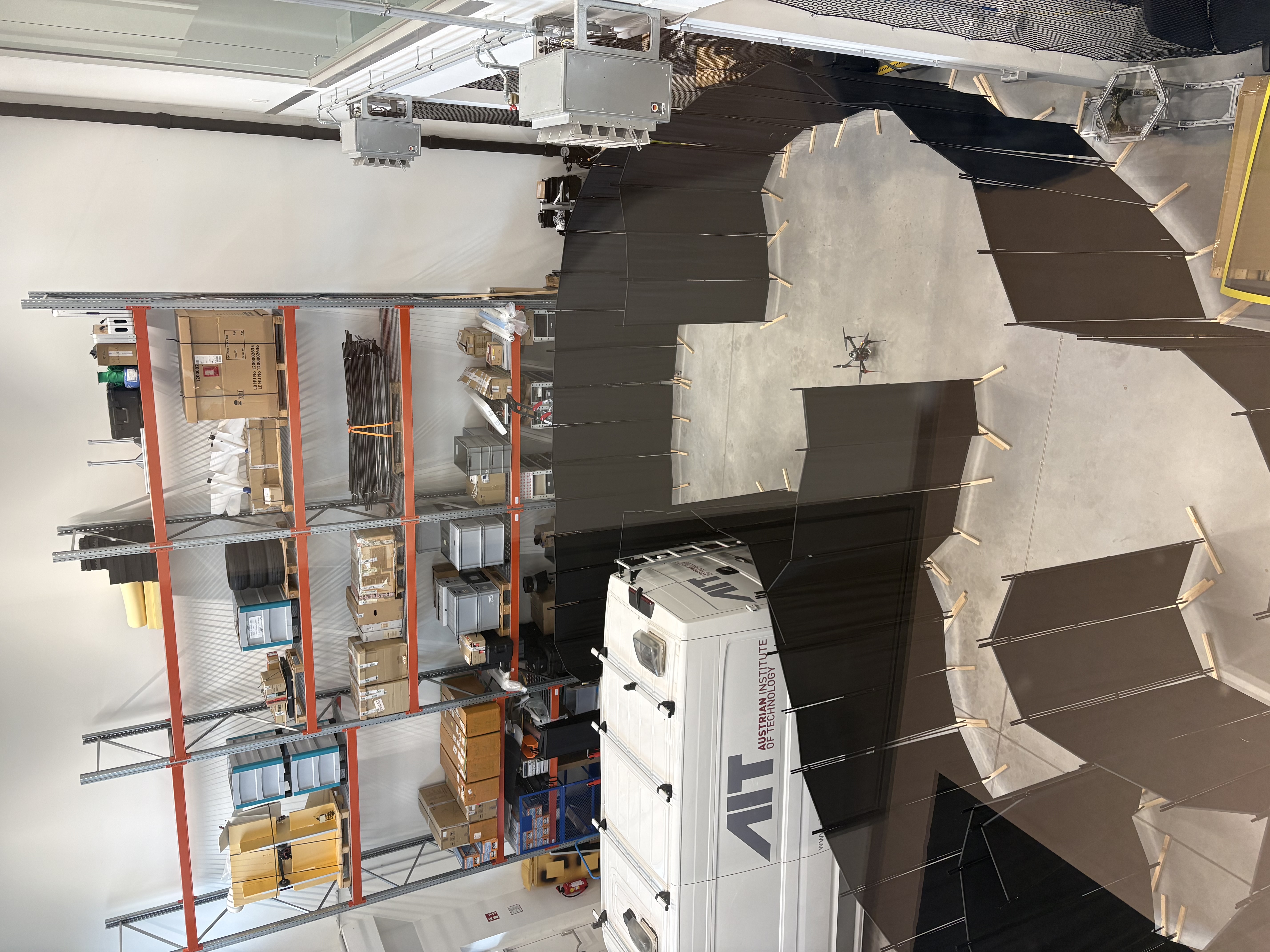
The AIT Austrian Institute of Technology has significantly expanded its Aerial Systems Lab at its Vienna-Giefinggasse site by relocating it to a neighboring building. At the heart of the new facility is a purpose-built 150 m² indoor flight hall with a ceiling height of 9 meters, enabling researchers for the first time to develop, test, and demonstrate complex operational scenarios for autonomous unmanned aerial vehicles (UAVs) under realistic conditions.The new laboratory infrastructure allows the team to consistently pursue its strategy for developing autonomous systems for both outdoor and indoor environments. These two domains present fundamentally different challenges, yet they are addressed through a common technological foundation that includes autonomous navigation in complex indoor spaces, learning-based flight control, cooperative swarm flight, and long-range beyond-visual-line-of-sight (BVLOS) operations.
Key enabling technologies include AIT's proprietary methods for simultaneous localization and mapping (SLAM) and learning-based flight control. These technologies fuse data from multiple sensors into a continuous state estimation, allowing an aircraft to determine its own position, map its surroundings, and navigate within the generated map simultaneously - even without satellite navigation, prior knowledge of the environment, or external infrastructure. The system achieves survey-grade accuracy in the low-centimeter range. This level of precision, which previously required extensive post-processing after a flight, is now available onboard in real time. At the same time, flight control is increasingly learned rather than programmed. Instead of following predefined rules, the system learns from experience how to safely navigate through unknown environments and avoid obstacles. Throughout this process, legal and safety requirements remain binding and define the permissible operational behavior.
From Real-Time Aerial Situation Awareness to Autonomous Exploration of Inaccessible Spaces
images captured by a UAV are processed into a georeferenced real-time situational picture consisting of an orthomosaic, terrain model, and automatic classification of vegetation, roads, buildings, and vehicles.The complete processing is performed onboard the aircraft. The resulting data can be transmitted either via existing communication networks such as cellular infrastructure or, where such infrastructure is unavailable, through an independent radio link. For large-scale missions or applications requiring highly up-to-date situational awareness, multiple UAVs operate together in a coordinated swarm.
A separate research focus addresses long-range autonomous flight. AIT is currently developing an unmanned hydrogen-powered aircraft designed for climate-neutral missions requiring extended range and endurance.Research in this area concentrates on safe and regulation-compliant BVLOS operations, including the detection and avoidance of other aircraft and certification in accordance with EASA regulations.
Where aerial observation from above reaches its limits—in collapsed buildings, tunnels, or mines—compact autonomous UAVs take over. They independently explore unknown environments and generate highly accurate 3D models without exposing people to hazardous conditions. Initial applications are already underway. In one industrial facility, autonomous UAVs successfully surveyed stored material inventories, enabling both volume and fill-level estimation from a single flight. Additional application areas include building construction and civil engineering, emergency response, security and defense, as well as agriculture and forestry.
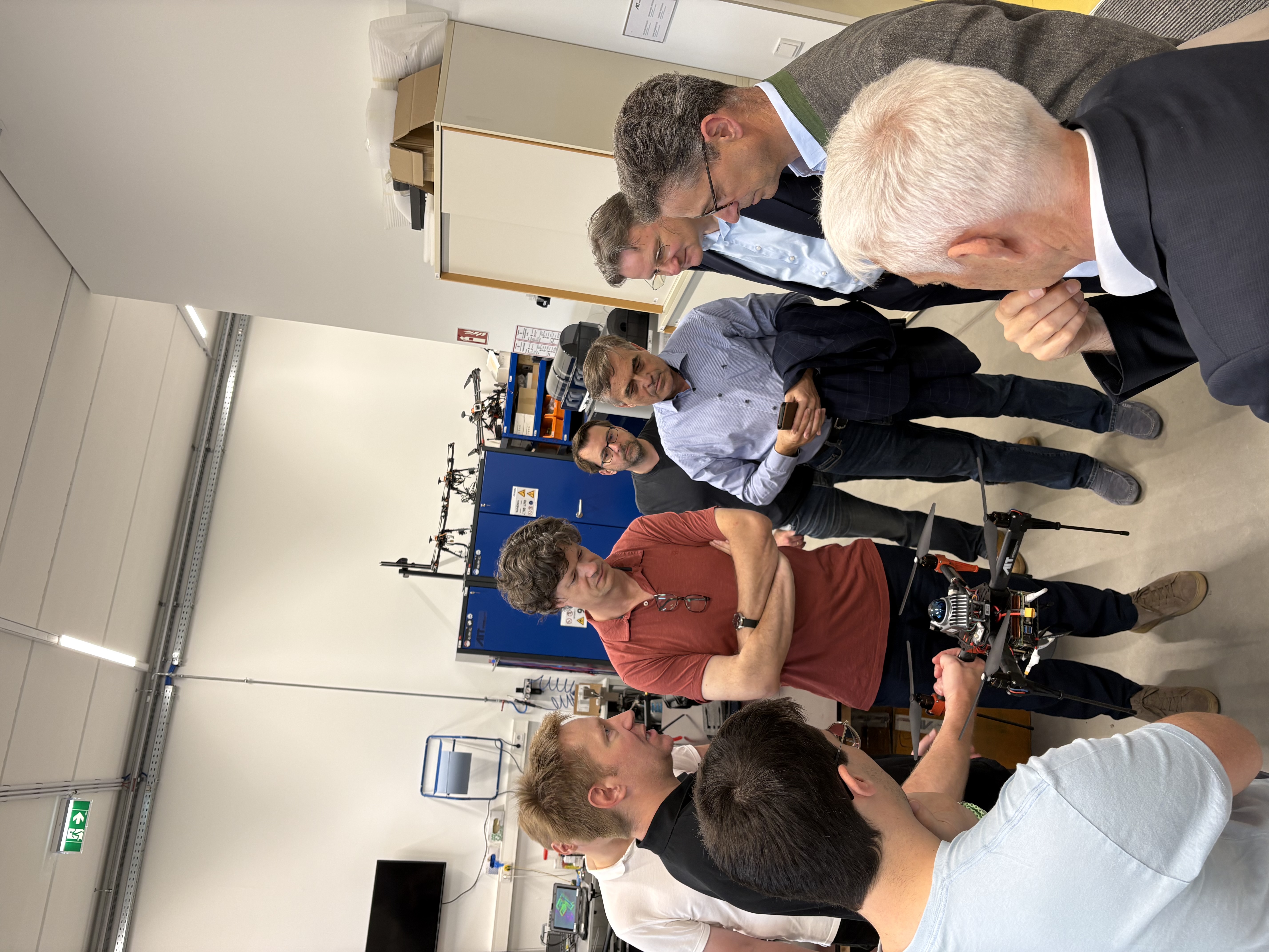
The expanded research and testing capabilities were officially presented in early July. During guided tours of the indoor flight hall, employees from the AIT Centers and Scientific Director Andreas Kugi experienced several live demonstrations showcasing current research projects.
The new facility provides both research organizations and industrial partners with a shared development and testing environment where innovative applications can be rapidly evaluated under realistic conditions and efficiently transferred into practical use.
The new Aerial Systems Lab at a glance
- Indoor flight hall: 150 m² test area with a 9 m ceiling height; freely configurable environment, currently arranged as a maze for autonomous exploration experiments.
- Core technologies: Real-time onboard fusion of multiple sensors for positioning and mapping with centimeter-level accuracy; learning-based flight control.
- Capabilities: Autonomous indoor navigation and cooperative swarm flight.
- Applications: Real-time aerial situational awareness, precise indoor 3D modeling, autonomous volume measurement and inventory assessment, with additional applications depending on system configuration.
- Application domains: Building construction and civil engineering, industry and infrastructure, security and defense, crisis and disaster management, agriculture, and forestry.