
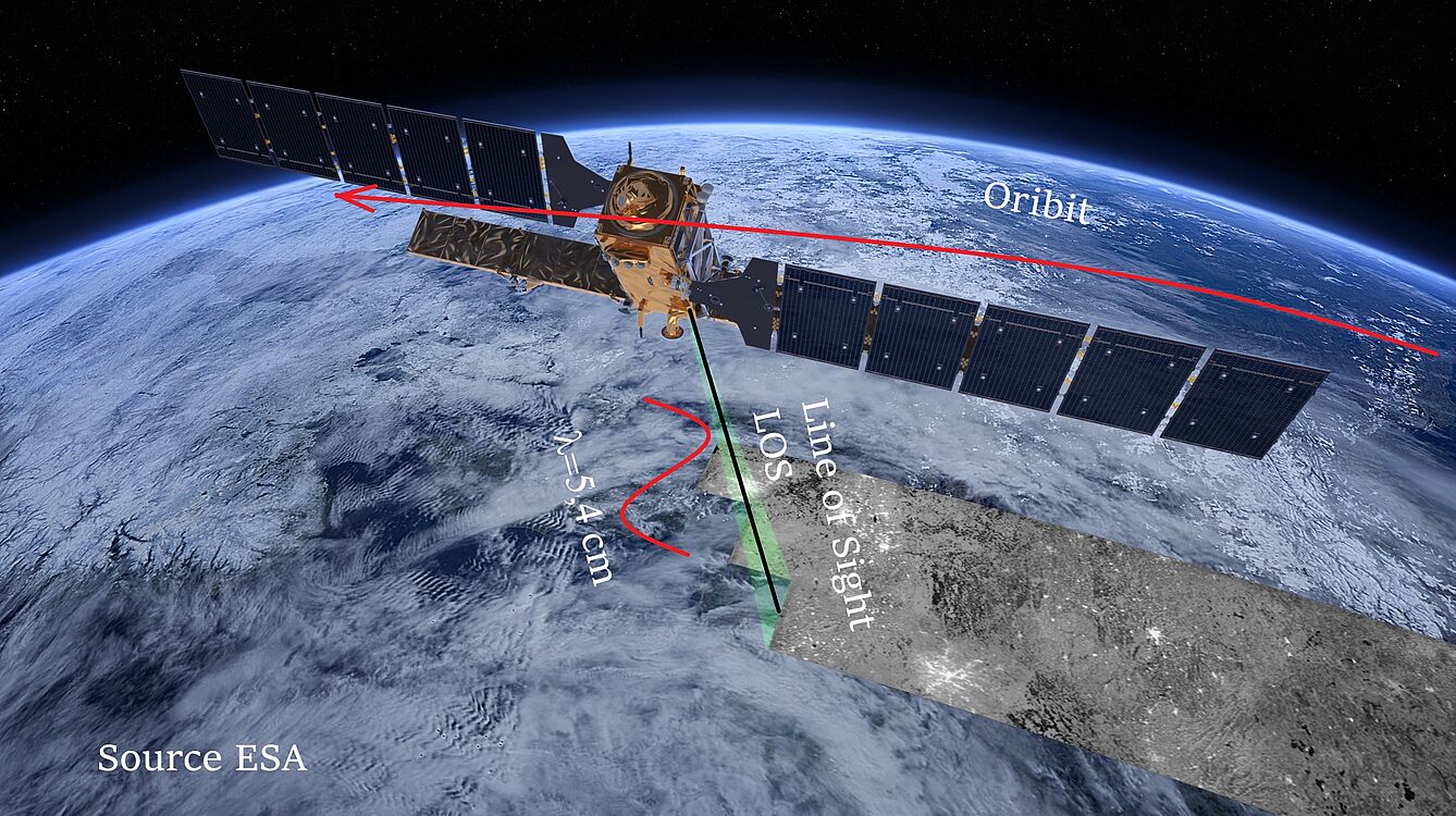
Satellite-based structural monitoring employs radar remote sensing (Synthetic Aperture Radar, SAR) and, in particular, radar interferometry (InSAR) to detect deformations in infrastructure structures without physical contact. This approach not only observes individual measurement points but also reveals trends and anomalies across entire sections of infrastructure – for example, across numerous structures along a network or in areas prone to settlement. The data is based, among other things, on freely available Sentinel-1 radar data, which enables broad temporal coverage and thus improved temporal resolution.
The key added value lies in the transition from isolated individual measurements to network-wide condition monitoring: monitoring becomes scalable because not every structure needs to be equipped separately with discrete sensors. At the same time, the measurement is technically robust: bridge movements can be determined with millimetre precision using ESA satellite data and InSAR – without the need for local sensors on the structure. Additionally, depending on the available data history, the analysis can be carried out retrospectively as far back as 2015. This makes long-term deformation trends quantifiable, and potentially critical areas can be identified at an early stage.
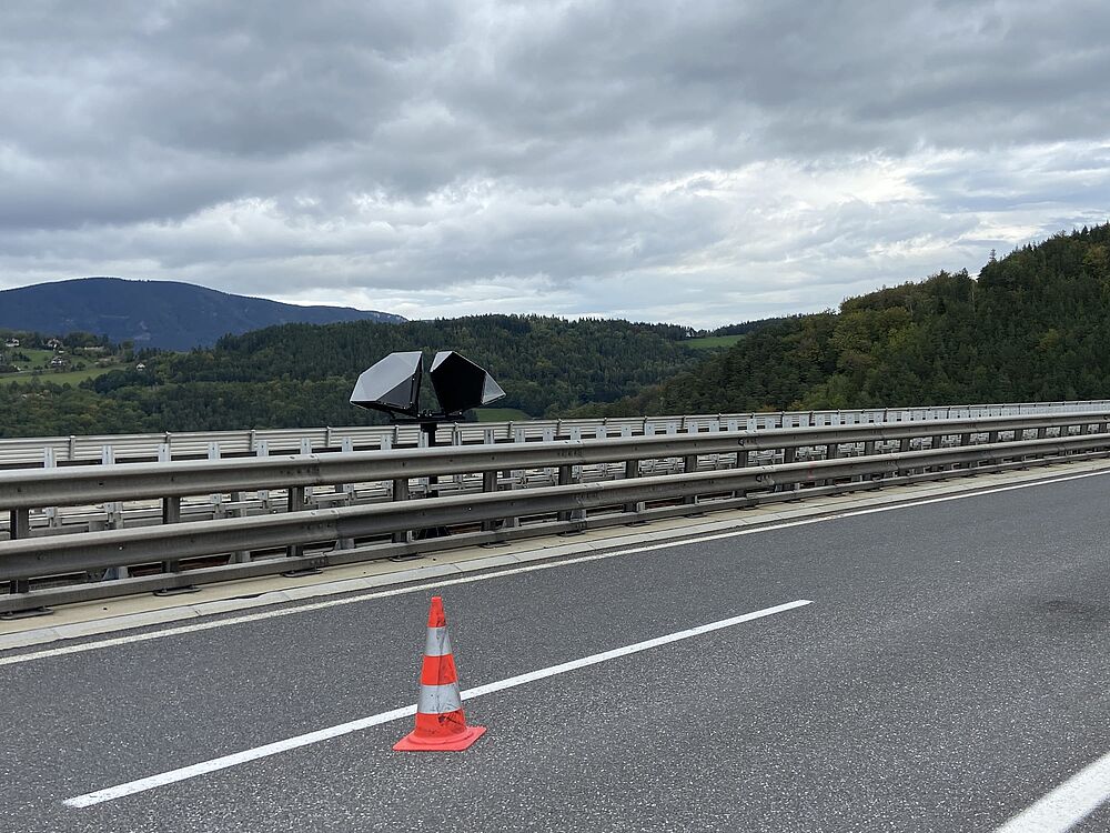
Ongoing development focuses on accuracy and practical applicability. This includes so-called ‘corner reflectors’ for improved detection of discrete points, the integral consideration of temperature-induced deformations (diurnal variations and seasonal effects), and the measurement and modelling of the structure’s temperature. Sensor fusion is used specifically to reduce errors and increase resolution – right through to the derivation of a ‘critical deformation’ as a decision-relevant metric.

Satellite-based monitoring is minimally invasive: no or only isolated, wireless installations on the structure are required.