Automated Pavement Operation

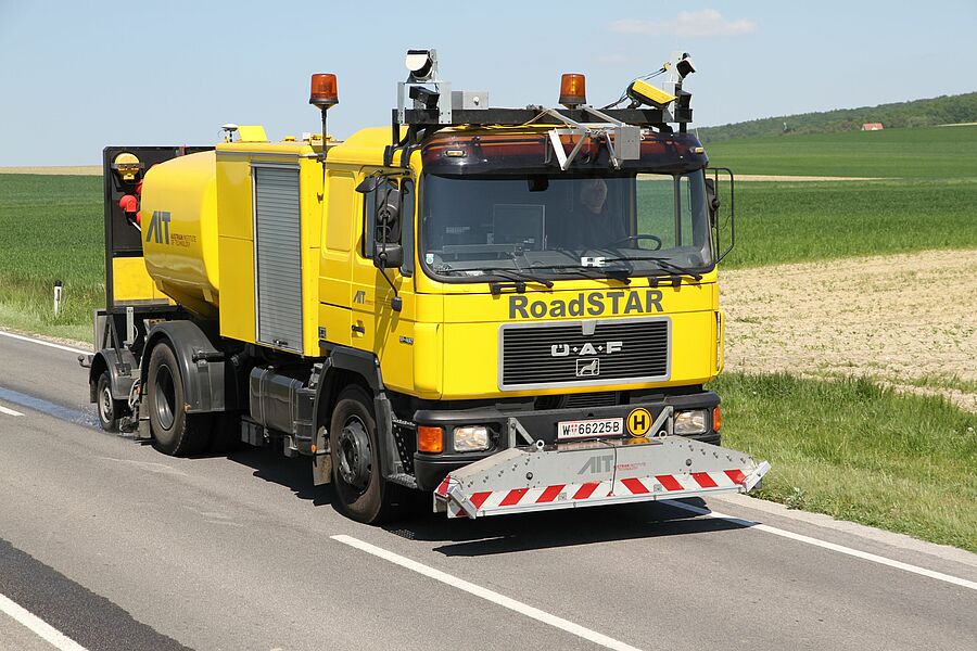
In the course of road condition assessment, damage of road-surfaces is currently being recorded on video or with scanners. In Germany, Austria and Switzerland the corresponding evaluation of the video or scanning material is carried out manually by trained evaluators. On the one hand, this manual evaluation requires a high expenditure of time and money and, on the other hand, introduces a certain unwanted subjectivity into the system. At the most important Austrian measuring vehicle for road condition monitoring "RoadSTAR" the existing laser scanner for recording the road surface was extended by a high-resolution intensity channel (see project description “PaveScan 4D”). This provides new source material for an automated evaluation. The aim of the project is the completely automated localisation and classification of damages to the road infrastructure based on deep learning techniques. At the end of the project, a method in the form of an applicable software should be available. A BIM module developed by a project partner will use this data in a life cycle analysis of the infrastructure.
AIT’s main responsibilities include contribution to the system design and distress catalogue based on Austrian regulations, collection and evaluation of reference data with different surface distress collection systems (scanner, camera) and comparison and evaluation of the output of the automated distress classification to reference data created by AIT’s human operators.
Funded by the Federal Ministry for Climate Protection, Environment, Energy, Mobility, Innovation and Technology (BMK) and the Austrian Research Promotion Agency (FFG) as part of Eurostars-2.
