In recent years, mobile mapping has gained significant importance in the area of high-resolution data acquisition techniques. Resulting geo-data is primarily useful for planning, maintenance and management tasks in urban areas. A mobile platform, e.g. a vehicle, collects image and/or laser scan data while high-precision positioning instruments provide georeferencing capacity. Particularly in urban areas, however, buildings, vegetation and other tall structures may impede the direct line-of-sight to GNSS satellites and thus lead to signal outages or multipath effects which may affect the position estimation of the platform and hence deteriorate the accuracy of acquired data.
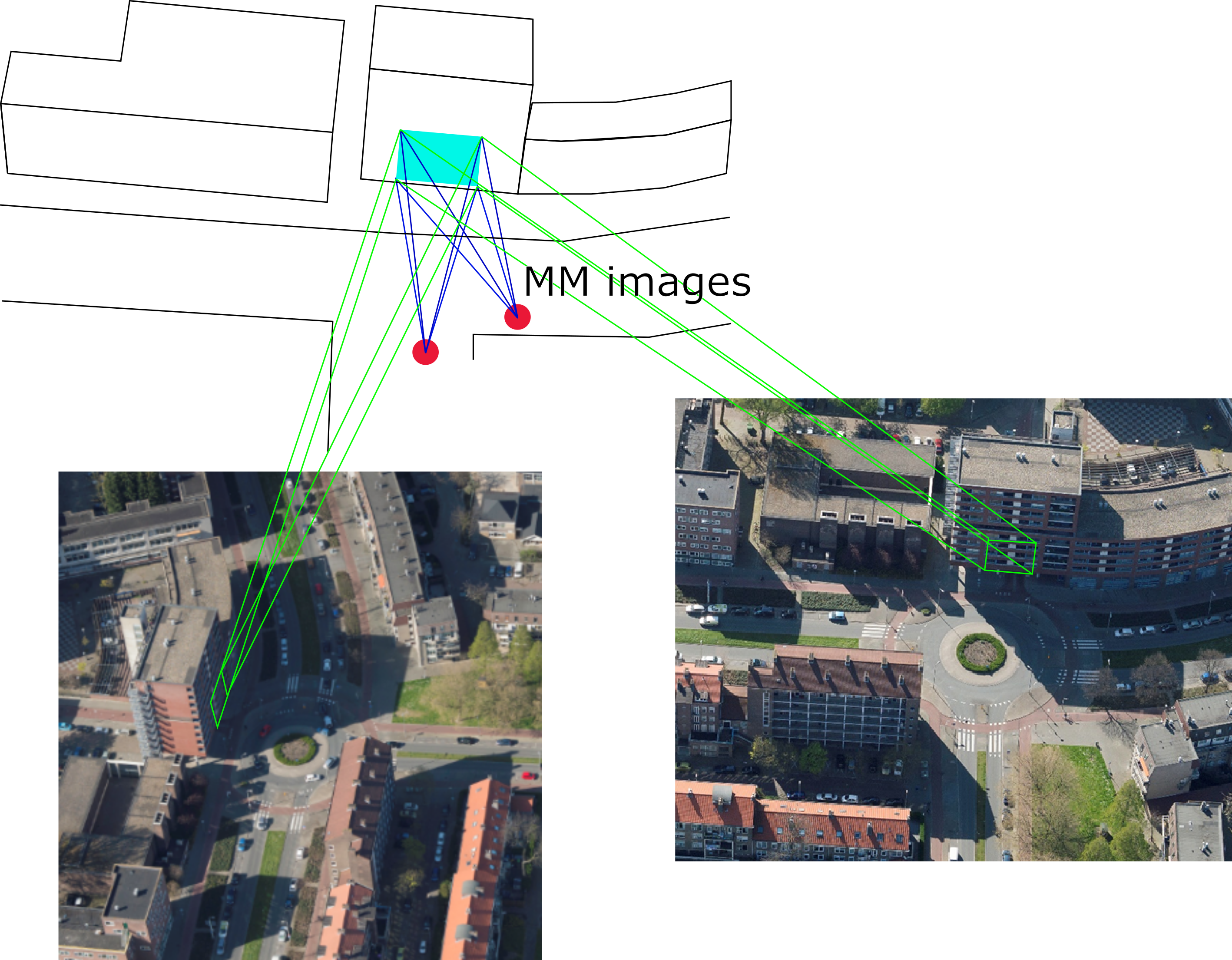
Schematic representation of the co-registration approach of terrestrial mobile mapping images and oblique aerial images by utilising projection surfaces in object space. © Phillipp Fanta-Jende
In collaboration with his colleagues at ITC of the University of Twente (The Netherlands), Phillipp Fanta-Jende has worked on tackling this problem. By introducing highly accurate image correspondences between terrestrial mobile mapping data and oblique aerial images into photogrammetric adjustment solutions, the accuracy of the platform and thus of the data can be increased significantly (up to less than 10 cm). For his work entitled "Co-registration of panoramic mobile mapping images and oblique aerial images", which addresses the co-registration algorithm in this context, he has been awarded the coveted E H Thompson Award of the Society for Remote Sensing and Photogrammetry, UK.
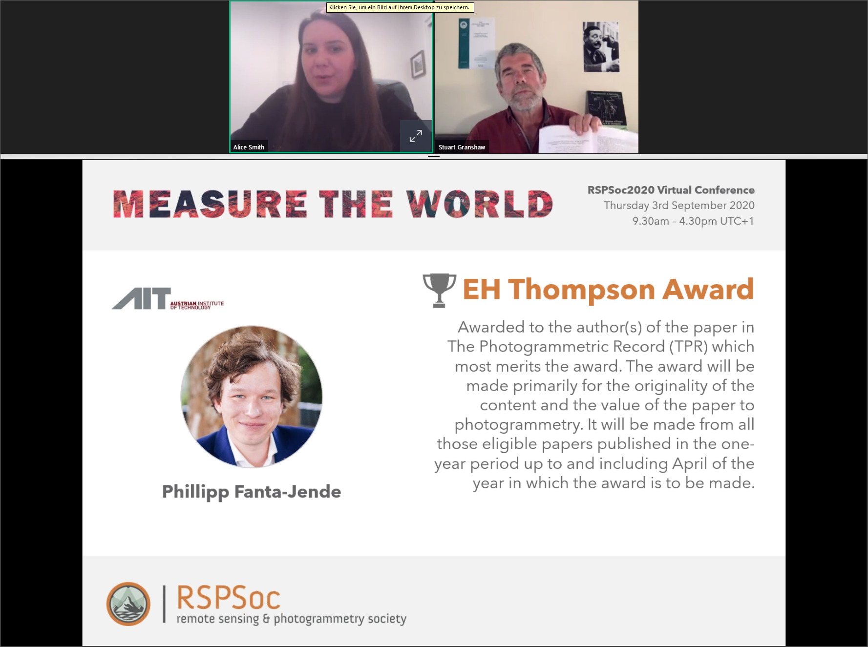
Screenshot taken from the online ceremony
At the end of 2019 he joined AIT and now contributes his expertise to the Center for Vision, Automation & Control. His research in the field of Assistive and Autonomous Systems includes, inter alia, the development of new approaches and applications for precise sensor orientation in difficult positioning scenarios.
Abstract
Mobile mapping relies on satellite‐based positioning, which suffers from line‐of‐sight and multipath issues. As an alternative, this paper presents a fully automatic approach for the co‐registration of mobile mapping and oblique aerial images to introduce highly accurate and reliable ground control for mobile mapping data adjustment. An oblique view of a scene introduces similarities as well as challenges regarding co‐registration with mobile mapping images, which is supported by mutual planes in both datasets. Façade planes from a sparse point cloud are used as projection surfaces for the mobile mapping and aerial datasets, overcoming large perspective differences between them to simplify the registration. The performance of the procedure indicates an inlier rate of around 80%.
Read the paper
P. Fanta-Jende, F. Nex, G. Vosselman, M. Gerke: Co-registration of panoramic mobile mapping images and oblique aerial images; in: The Photogrammetric Record, 2019, 34(166), pp.148-173.
https://onlinelibrary.wiley.com/doi/full/10.1111/phor.12276
About the E H Thompson Award of the British Society for Remote Sensing and Photogrammetry (RSPSoc), University of Nottingham
The E H Thompson Award is presented annually to outstanding work that has distinguished itself in the field of photogrammetry (published in The Photogrammetric Record, TPR) through quality and originality. This year's award was presented on September 3, 2020 during the virtual RSPSoc conference.
http://www.rspsoc.org.uk/index.php/rspsoc-events/rspsoc2020.html.


