Location-Planning for Bike-Sharing Systems Respecting Demand, Redistribution and Maintenance
The PlanBiSS project developed a prototypical tool for supporting location planning of bike-sharing systems (BSS). This PlanBiSS tool, which is publicly available at https://mytrips.ait.ac.at/planbiss/, can semi-automatically calculate suggestions for the placement of BSS stations.
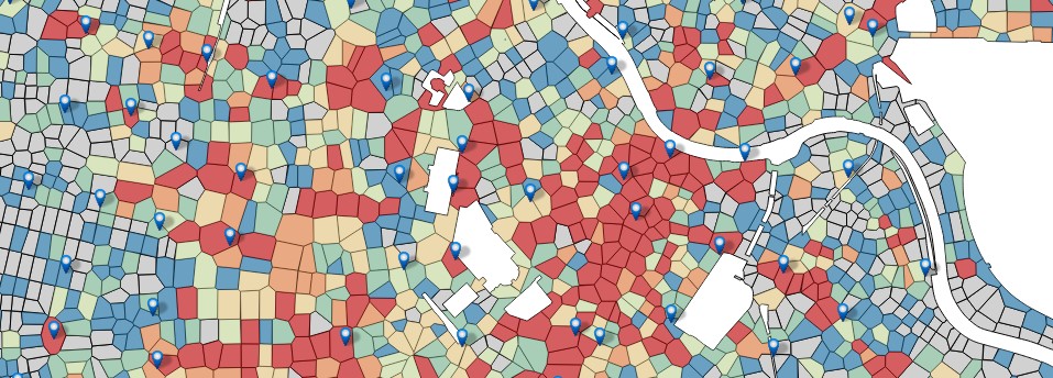
We envision the PlanBiSS tool to be used as follows: planners first define the planning region, collect required data such as demographic data, public transport stations, available budget, and research prices and possible station set-ups from available bike-sharing providers. Then planners define scenarios, which can differ in many aspects such as the planning region or the available budget, and use the PlanBiSS tool to suggest optimal station locations for these scenarios. The tool calculates a solution consisting of station locations and set-ups as well as performance indicators for easier comparison. Planners then use local knowledge to fine-tune promising scenarios with possible iterative usage of the PlanBiSS tool. In the end a scenario is chosen and based on the suggested station locations planners determine the exact street-level locations. Figure 1 illustrates how planners are supported by the PlanBiSS tool through this process.
Figure 1: Supporting planners with calculation and visualization of (a) the expected demand (purple=high), (b) suggested station locations with a 300m radius and the expected demand per station, (c) the expected number of trips between stations (line thickness = number of trips), (d) the suggested station locations on a map (© OpenStreetMap & contributors)
The PlanBiSS tool consists of the following novel components, which were developed within the project: (1) a tesselation method for splitting a defined planning area into small cells centered around junctions in the road network, (2) a demand model that encapsulates potential behaviour of bike-sharing users, and (3) an optimization algorithm that builds on the two previous components to automatically calculate optimum locations of stations. These methods were developed using detailed input from experts in the field of BSS on the needs and demands of planners on such a system. Finally, the developed tool was successfully evaluated in expert interviews, which also helped to define research questions for further developments and requirements for a final product.


